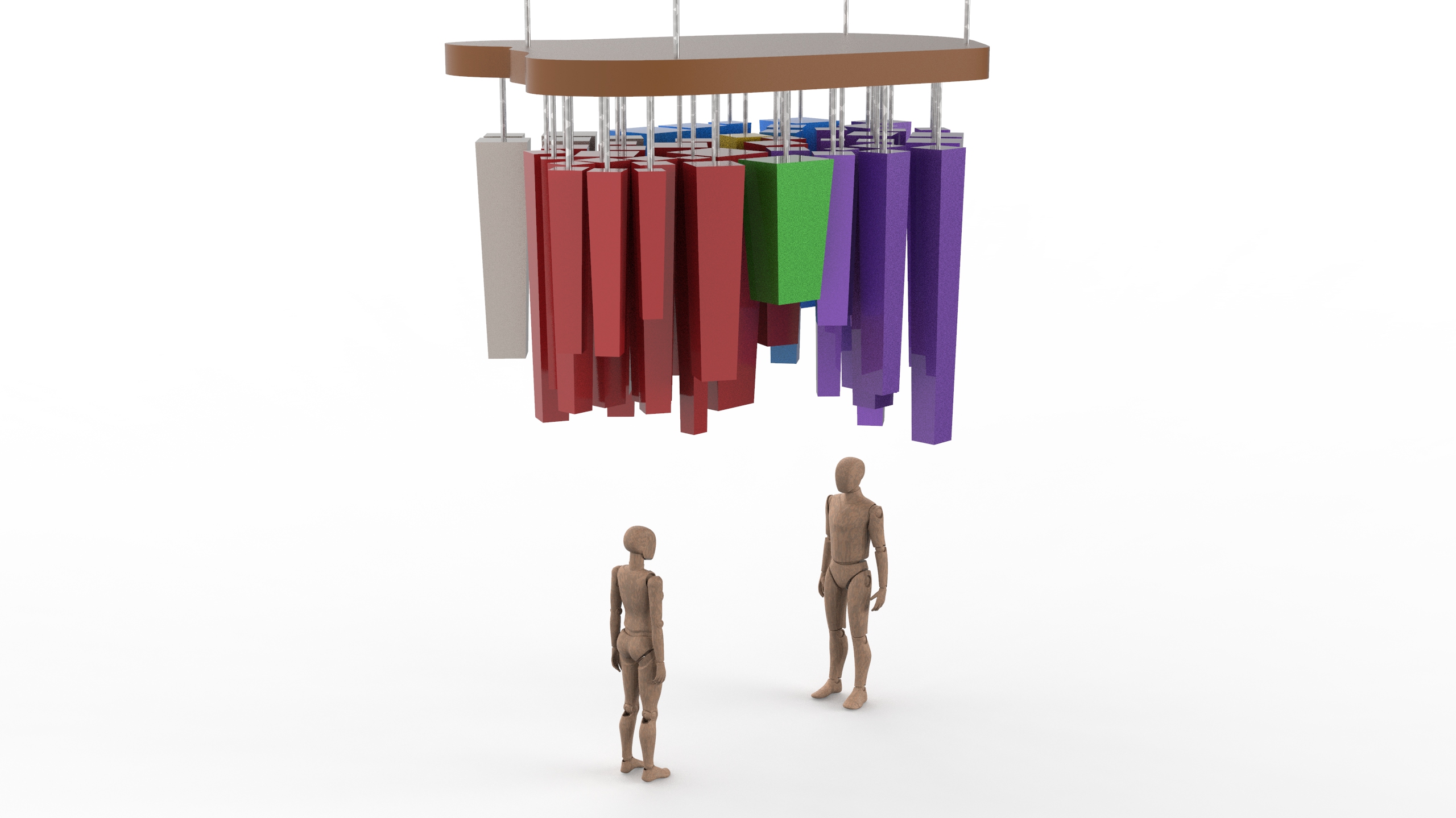
For the previous week, we did revised mock up and 3D model of how we envisioned our installation, to form an imagery of the NTU map with the hanging/suspended objects (which represents the students of the school).

However, we realised that it may not be as easy as we thought for the audience to see the same imagery we want them to (and some might not even know that that imagery is the shape of the NTU map).
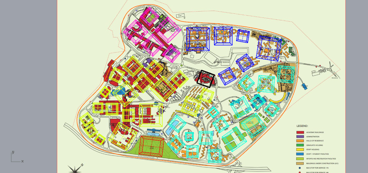
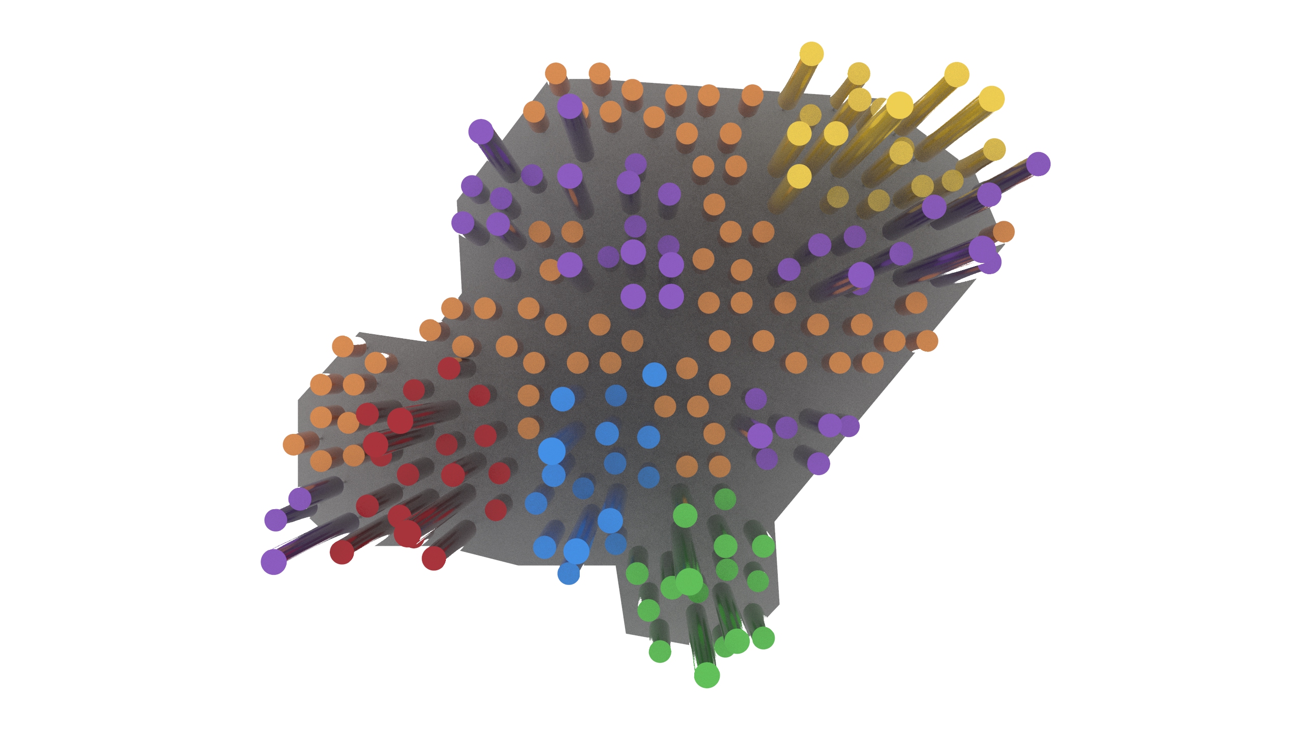
We also received the feedback that the string in different lengths may end up tangling with one another, so we tried to have the string shorter in length and have the hanging objects be the one with the varying lengths. Because we do not really know the exact heights of the buildings in NTU, the lengths are determined by the levels of each buildings. For example, the halls in NTU at least have 4 levels, and we gave an approximate of 200mm for each level, thus the height of the object would be around 800mm.
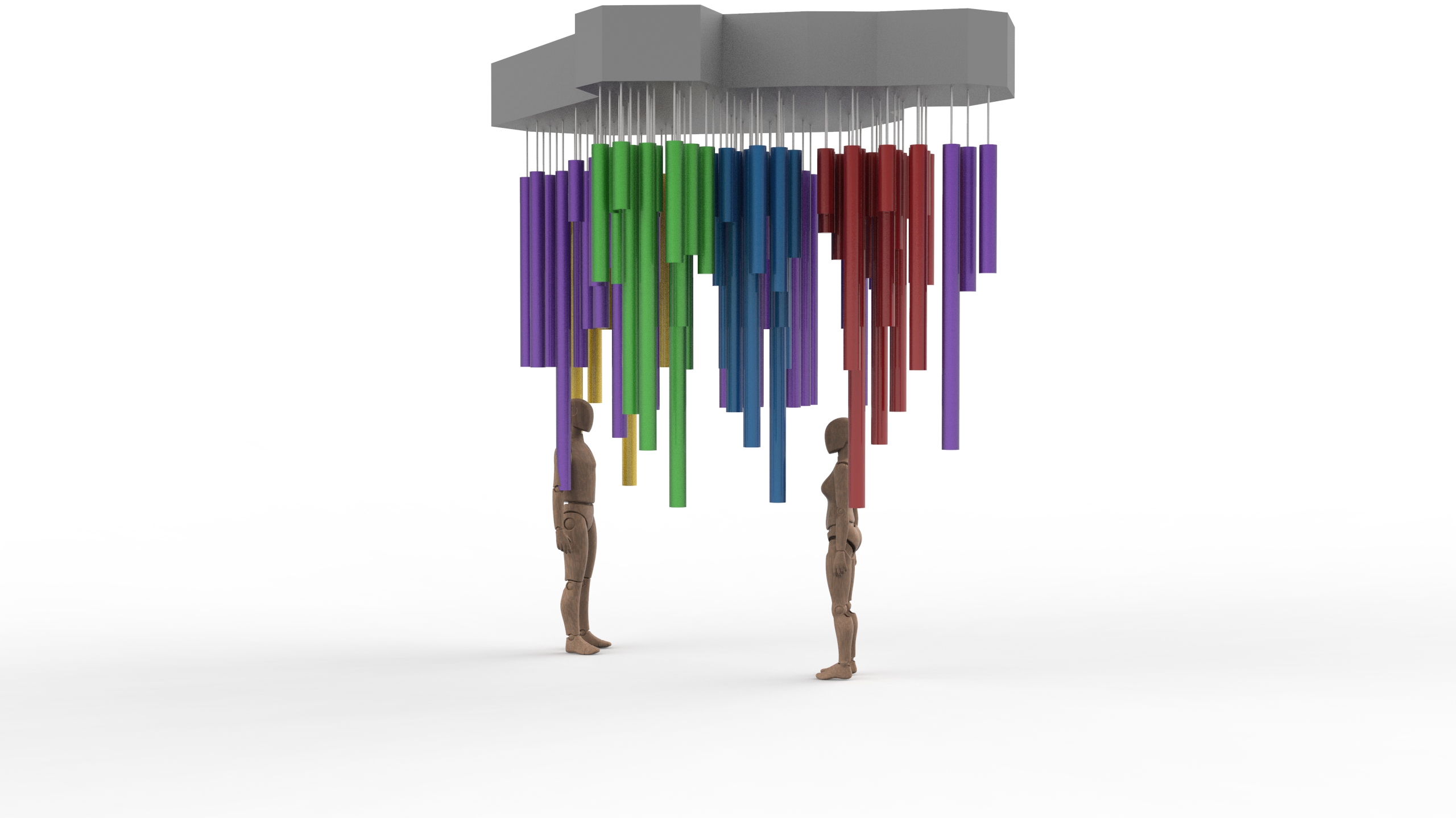
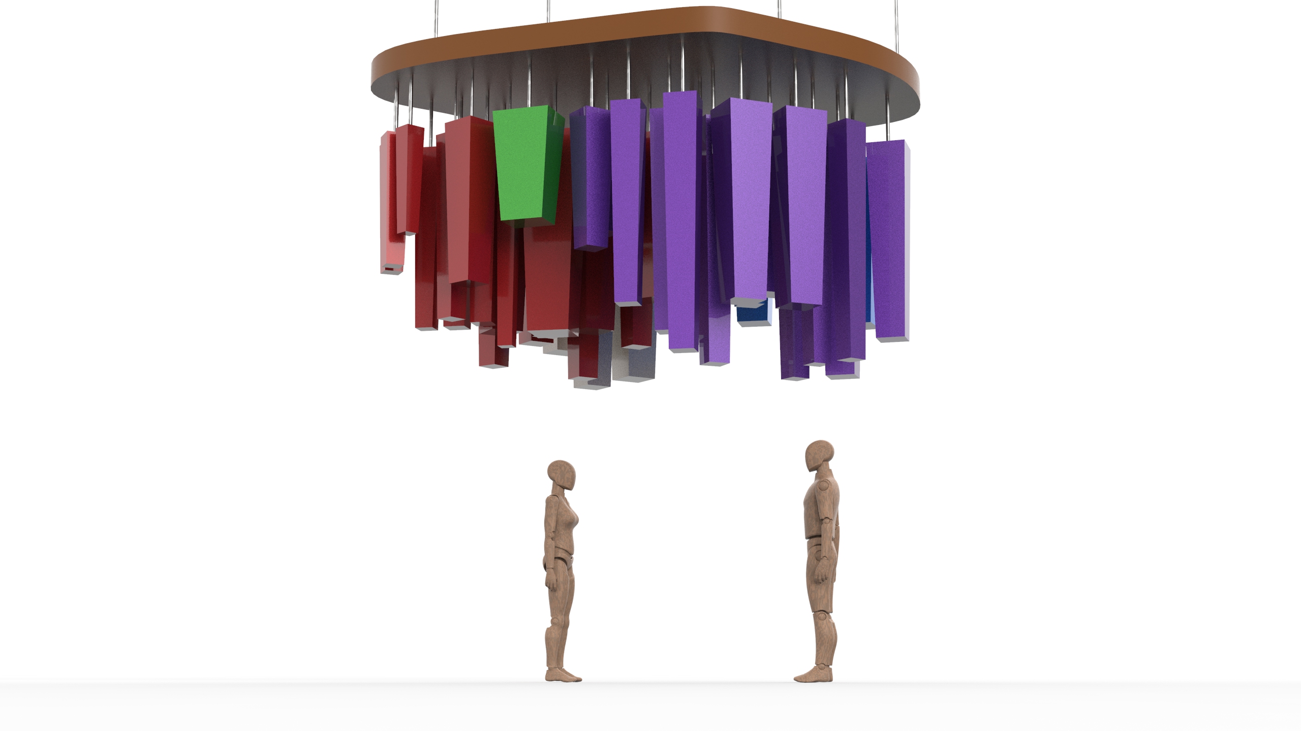
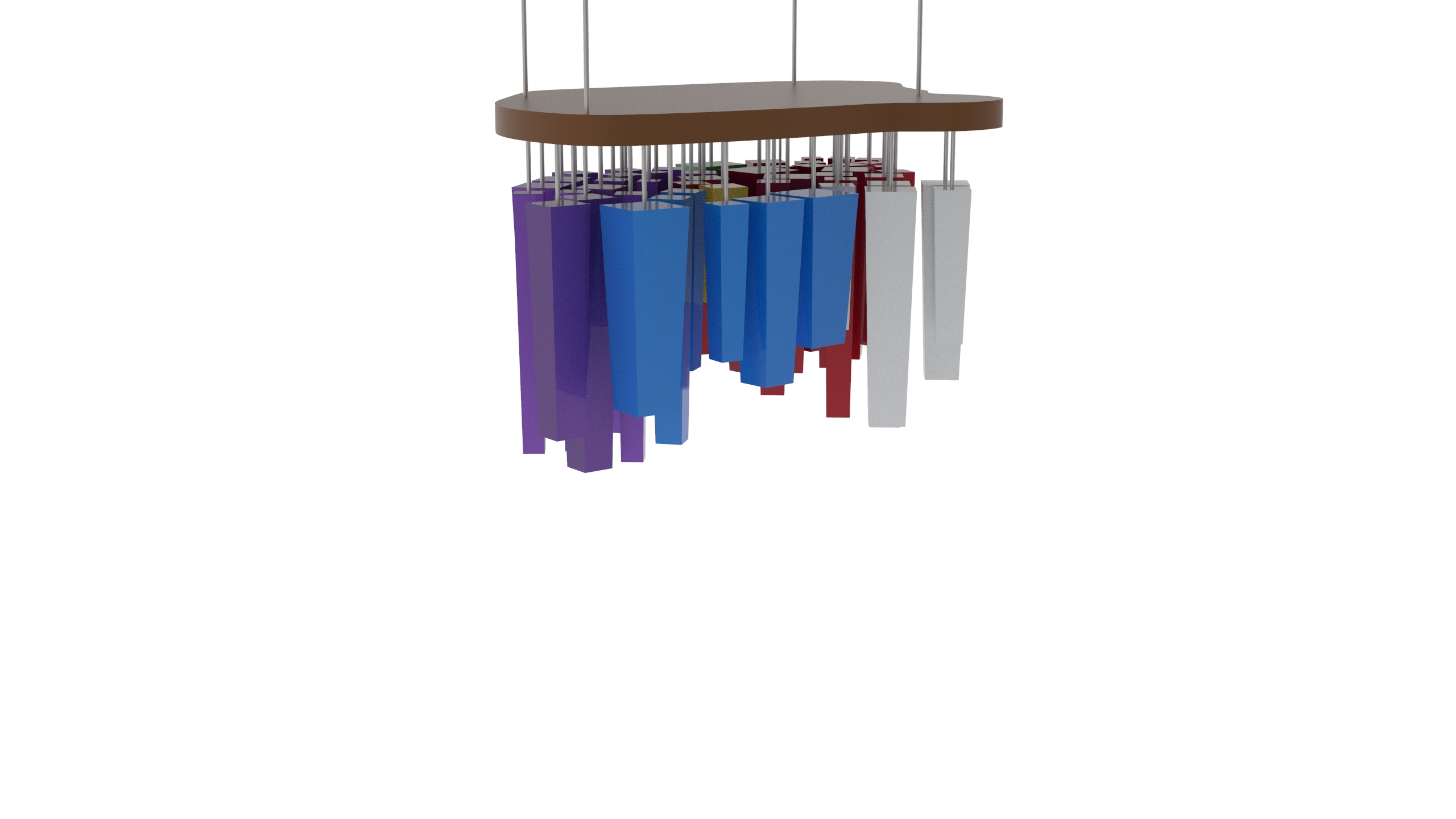
We also tried variation of shapes for the hanging object. We tried them in squarish/rectangular blocks — with variation sizes and length, and quantity; and realised that it looks too jarring.
Besides this, we were thinking if cylindrical rods would be less jarring and so we tried it in render.
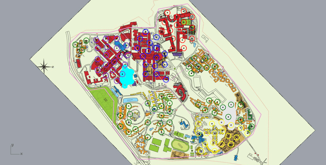
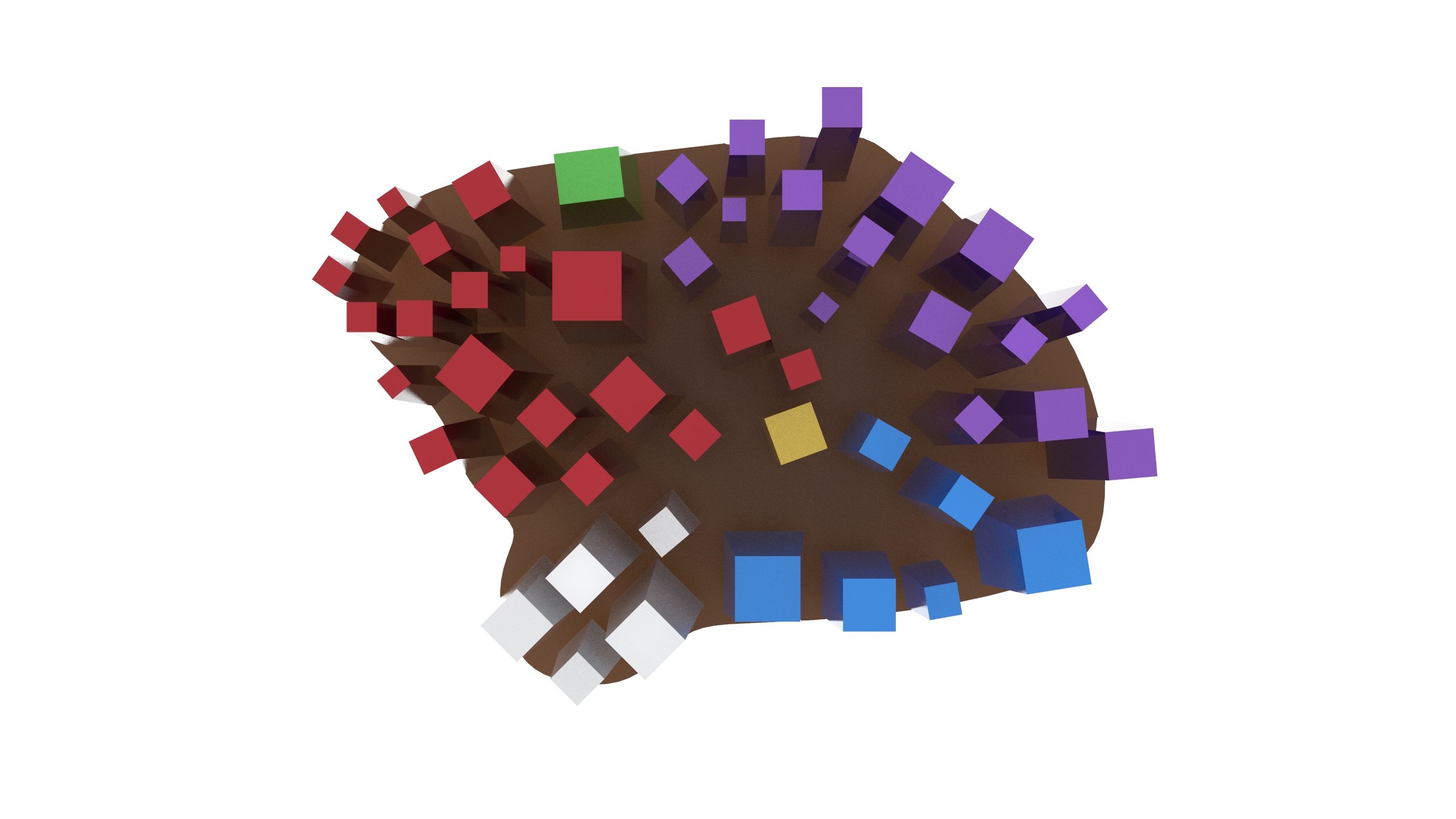
Version A: We tried to fill up the map as to how it is in the image. Colours representing the different sections of the buildings around the school.


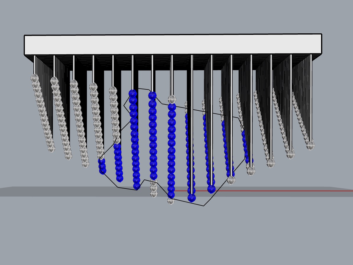
Version B: We were thinking if filling the entire map would be too cluttered, so we tried to give some space in between the sections. Colours representing the different sections of the buildings around the school.